

CLOUDZ GEOMATICS PROJECTS PRIVATE LIMITED
Surveyor & Engineering Services (Civil & GIS).
A Registered Company With CIN : U71100MN2023PTC014905, Registration No : 14905
15+
Projects
5+
Clients
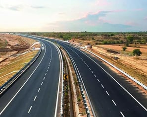
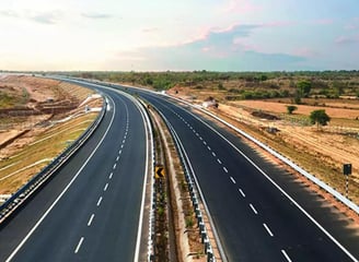
Roads & Highways
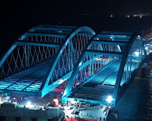
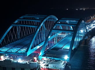
Bridges
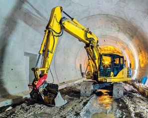
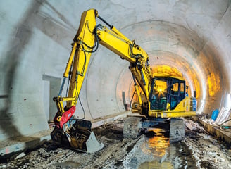
Tunnels
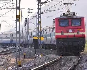
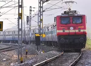
Railways
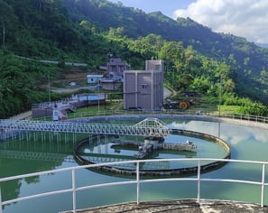
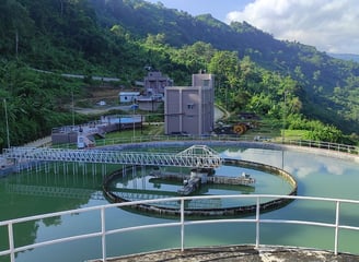
Water Supply
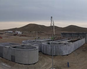
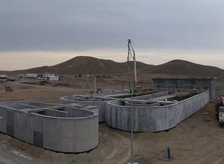
Sewerage


Buildings


Tourism Infrastructures
Sectors

GIS
Engineering Survey


Project Management Consultancy


Construction Supervision


Feasibility Study & Detailed Project Report
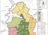
GIS Master Plan Preparations
Services
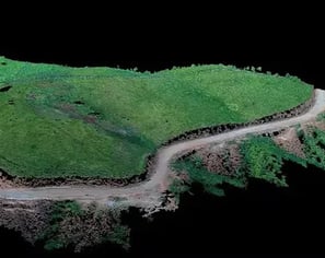
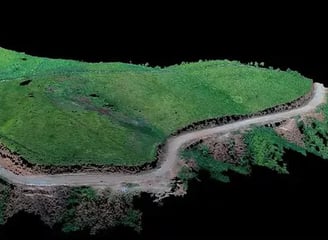
LiDAR Survey
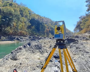
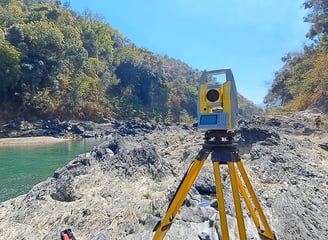
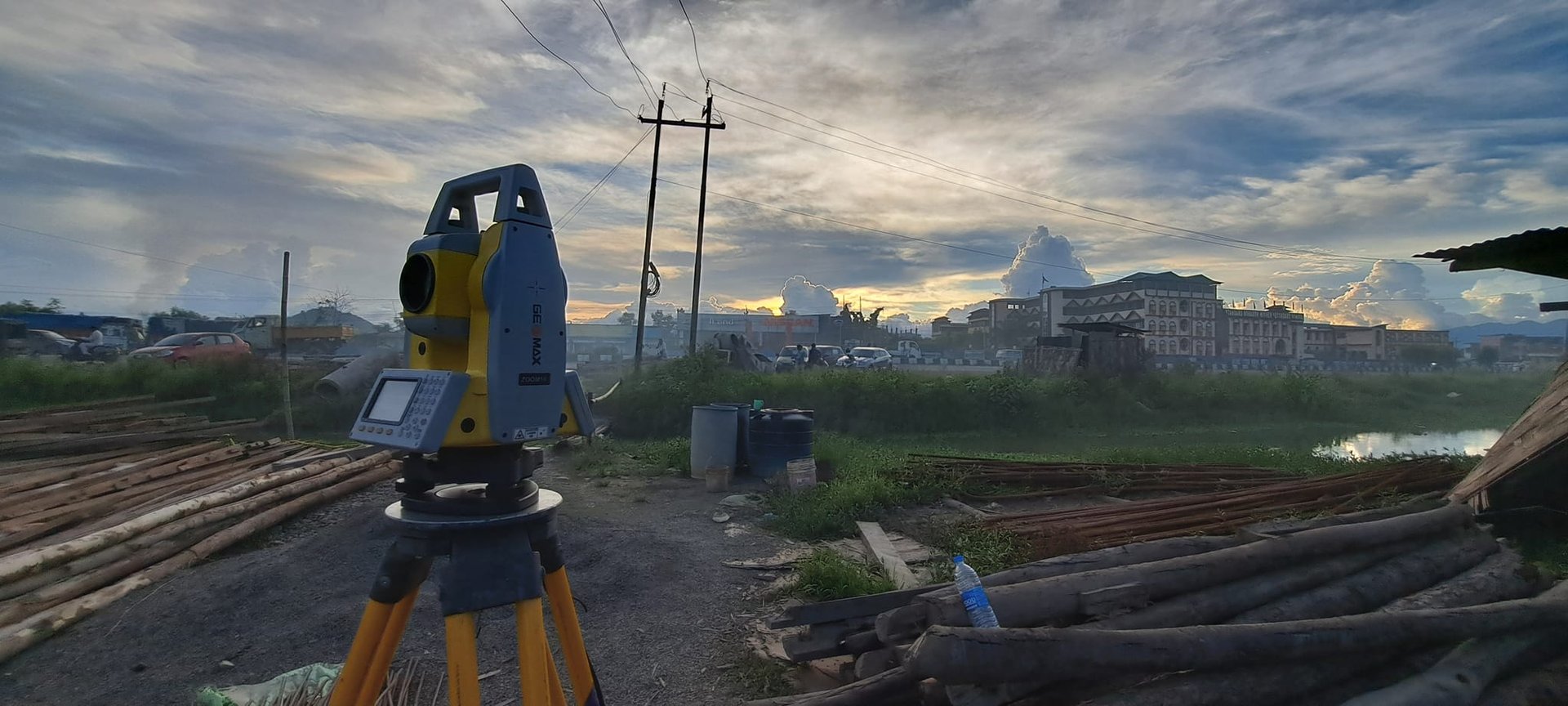
Detailed Topographical Survey- CORS Enabled DGPS & Total Stations
Expertise
We leverage our experience to consistently deliver added value for our clients.
Detailed Topographical Survey and Aerial mapping.
Pre-Feasibility & Feasibility Studies.
Detailed Project Report.
Detailed Design for the EPC Contract.
Transportation Planning.
Proof Checking.
Water & Wastewater Engineering.
Urban Planning & Development.
Landscaping.
Authority Engineer.
Construction Management.
Construction Supervision.
Safety Audit.
Road Network Master Plan.
Ring Roads/Bypass.
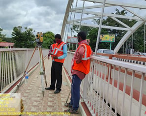
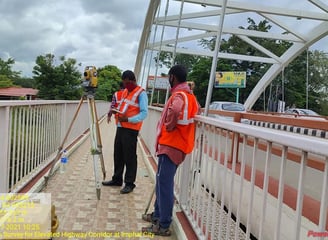
Elevated Highway/Elevated Corridor.
Grade Separated Structures.
Pavement Design.
Structural Evaluation of Pavements.
Traffic Management.
Road Safety Audit.
Highway Design
Aerial Drone Survey & Mapping.
3D Site Modelling.
Highway & Bridges.
As-Built Survey.
Detailed Volumetric.
Stock Pile.
Canal Survey & Mapping.
River Mapping.
Detailed Land Acquisition.
Land Demarcation Survey.
Digitization Survey of Village Map.
Rooftop Survey and Mapping.
DGPS Survey (Static, RTK & PPK).
Satellite Image Processing.
Image Interpretation.
Raster & Vector Image Analysis.
Ortho-rectification.
Digital Elevation Model.
GIS Map production.
Data Digitization and Management.
Address
Top Makha Leikai, Porompat Road, Imphal East., Imphal, India, Manipur
Services
Project Management Consultancy
Construction Supervision
Feasibility Study And Detailed Survey Report
GIS Master Plan Preparations
LiDAR Survey